DISPATCHES FROM THE ROAD
The Heroism of SuAnne Big Crow — Video Dispatch
Tuesday, November 14 2023
On a visit to the Black Hills and Pine Ridge Indian Reservation Clay happened upon the youth center dedicated to the memory of SuAnne Big Crow, the Oglala basketball star. Clay shares a little of her heroic story in this short video.
- Published in Dispatches from the Road
My Father: A Reminiscence at 30 Years
Sunday, November 05 2023
My father’s birthday was November 1st. He died at 67, 30 years ago. But he has not faded in my heart and soul.
- Published in Dispatches from the Road
Winter Arrives in North Dakota
Monday, October 30 2023
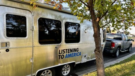
Well, I put the Airstream away for the winter. And just in time, too. It went into storage here in Bismarck on Monday, and it snowed for the first time Wednesday night.
- Published in Dispatches from the Road
The Great Buffalo Roundup
Tuesday, October 17 2023
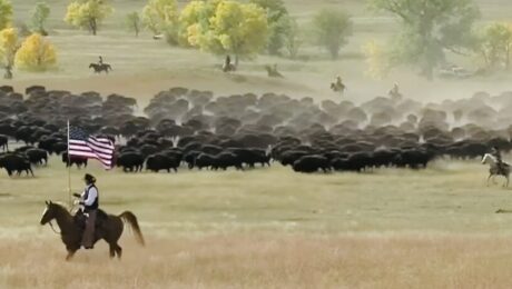
On September 29th over 1,400 bison were rounded up at Custer State Park in western South Dakota. The remarkable event, now in its 58th year, drew over 20,000 visitors from around the world
- Published in Dispatches from the Road
A Trek to the Summit of Black Elk Peak, South Dakota — Video Dispatch
Monday, October 09 2023
Clay hikes to the top of Black Elk Peak in South Dakota and shares a bit of its history. At 7,242 feet the summit is the highest point between the Rocky Mountains in the western U.S. and the Pyrenees Mountains in France.
- Published in Dispatches from the Road
Sancho Panza and Rocinante Ride Again! Video Dispatch
Wednesday, September 27 2023
Next spring Clay will begin a two-year journey following John Steinbeck’s Travels With Charley trek across America.
- Published in Dispatches from the Road
A Visit to the Center(s) of the Nation
Tuesday, September 26 2023
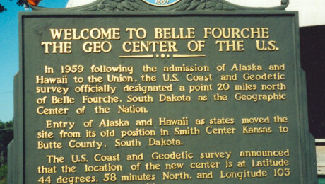
Clay files a video report from the geographic center of the USA on the wind-swept plains outside of Belle Fourche, South Dakota.
- Published in Dispatches from the Road
At Gate A6 on 22nd Anniversary of September 11
Monday, September 11 2023
I’m sitting at gate A6 at Jacksonville International Airport in Florida. Today is the 22nd anniversary of the attacks on the World Trade Center and the Pentagon.
- Published in Dispatches from the Road
The American Buffalo: Past and Future — Video Dispatch
Monday, September 11 2023
A video dispatch from my visit to Theodore Roosevelt National Park’s North Unit, where buffalo roam the Great Plains today.
- Published in Dispatches from the Road
Labor Day on the Glorious Little Missouri River — Video Dispatch
Tuesday, September 05 2023
I visited the Little Missouri River in the Badlands of North Dakota over the Labor Day weekend. Of all the rivers I know, the Little Missouri is the most sacred to me.
- Published in Dispatches from the Road


